
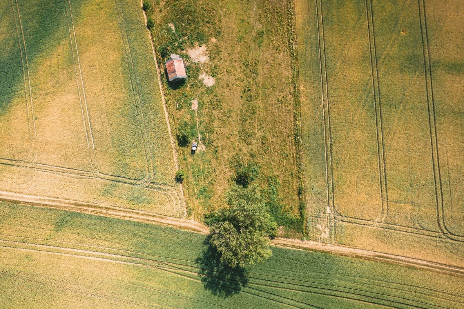
There’s a certain quiet moment a homeowner often experiences: they walk the edge of their property, look at a fence, check how far the neighbor’s shed sits, glance at the utility access. It’s usually casual, maybe subconscious. But what they’re doing is considering boundary, ownership, use and those thoughts matter. That’s why working with professional land surveyors from firms like Third Rock Geomatics can be a wise step. Because good land evaluations don’t just map your land they guard you from misunderstandings, legal headaches and unexpected expenses.
On paper a property looks simple: lot number, dimensions, deed description. But in reality the boundaries can be more fluid. Historic markers may shift, easements might cross in unexpected ways, improvements might encroach, and neighbours may proceed under old assumptions. Without a thorough evaluation, what seems solid today can become a dispute tomorrow. And disputes are rarely quiet; they’re often expensive.
Why boundary clarity matters more than many realise
One of the most common triggers of conflict is not dramatic invasions of land but subtle overlaps: a fence built slightly beyond the line, a driveway extended a foot, a garden bed creeping closer to a neighbour’s edge. Each may seem trivial alone, until the neighbour changes, the use shifts, the formal discussion begins. What once was tolerated becomes contested.
A land survey performed ahead of change confers clarity: it spells out where your land starts and ends, often identifying potential encroachments before they become problems. Industry commentary observes that accurate land surveys reduce the risk of boundary conflict, and thus reduce the likelihood of costly legal battles. When you don’t do the homework, you might build, plant, expand and later find you’re technically over the line, or you’re occupying space that someone else thinks is theirs. That’s the kind of risk few homeowners consider, until it hits.
Easements, use rights and hidden constraints
Beyond obvious boundaries, there are features that less experienced homeowners often miss: easements, utility corridors, rights of way, access agreements. A lot may look free, but hidden in the deed or the records might be a requirement that a neighbour or utility company has a path across part of the land. Without evaluation, you may invest in landscaping, erect structures, or sell based on assumptions that turn out incorrect. A proper land evaluation reveals these features, helps you decide how to live with them, modify plans accordingly, and avoid unpleasant surprises when development or sale is on the table.
Building and expansion without surprise
Imagine you decide to add a new deck, or expand the garage, or move a fence. If you do that without knowing precisely how the land lines work, you risk building too close to neighbours, violating setbacks, or encroaching on protected zones. That can cost months of delay, permit re-work, removal of the improvement or legal costs. Experts stress that a survey prior to major alterations is as much about protecting your wallet as protecting your property.
Homeowners who treat their property like an asset rather than simply “the house I live in” often view land evaluation as insurance rather than optional.
Investing now to save later
It’s tempting to skip the survey. After all, the property was purchased, title was transferred, there were no obvious issues at the time. But risk lurks in what isn’t visible. A single encroachment dispute may cost thousands in legal fees, settlement, re-work, or reduced property value. When you compare that to a survey cost, the difference is stark. One blog on land survey importance puts it plainly: a good survey before purchase or improvement is far cheaper than the subsequent cost of conflict.
So when you think of doing nothing now, remember you’re accepting risk. Many homeowners who sleep better at night do so because they know the lines are confirmed, the easements disclosed, the boundaries inspected.
The role for resale and market confidence
Even if you’re not planning to sell today, having land boundaries documented and clear strengthens your position. A prospective buyer or lender will feel more confident knowing the survey is ready, the boundary defined, the risk disclosed. Homes with less ambiguity around land tend to trade more smoothly. A dispute lurking in the title or boundary description is a potential deal breaker or bargaining chip for discounting. The clearer your land story, the stronger your home’s value story.
Finding the right survey and knowing what to ask
Not all surveys are created equal. Some cover basic boundaries; others include topography, improvements, encroachments. When engaging a land-survey professional, you want one who can walk the site, review historical monuments, examine public records, map existing improvements, identify visible encroachments and easements, and deliver documentation you can rely on. Ask: How current is the survey? What standards were used? Does it identify neighbours’ monuments? Does it include easements and encroachments? These questions differentiate a good service from minimal compliance.
A strong evaluation doesn’t eliminate all risk, but it moves it from unknown to known and that alone is a major shift. For more information check out the Food and Agriculture Organization.